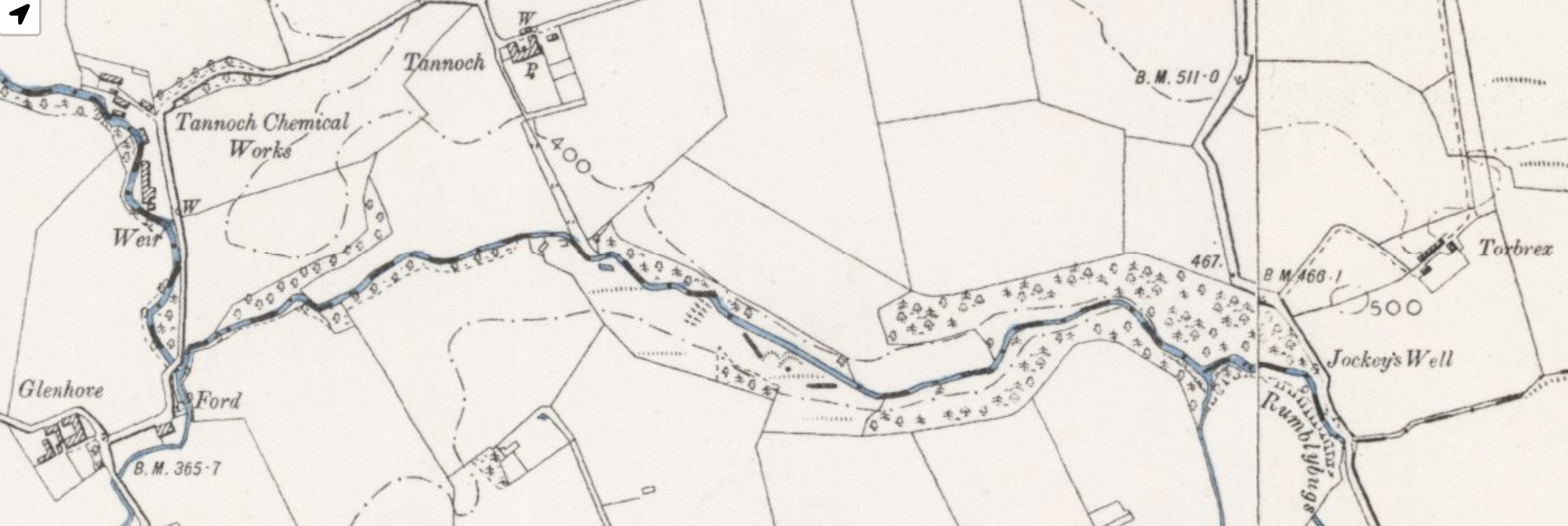
From Scotlands Places. “Luggie (The), a rivulet of Lanarkshire, and the detached part of Dumbartonshire. The Burn which comes through Glenhoof in New Monkland is commonly considered the proper source of this Water, but as quoted from the Gazetteer & Co [County] Map, its proper head seems to be from the “Toddle Well”, which is the head of the Stream running from that point along the Southern By. [Boundary] of this Parish. From the Toddle Well to “Rumblybugs” it is commonly called by the people ” Toddle Burn”, a name which properly belongs to the Spring or well as it is called, & has not therefore been written to the part described from its inconsiderable length.
Photo looking west taken in January 1969
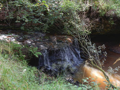
Rumblybugs
A name so well known in the locality that whatever its origin may be, which cannot be ascertained, is always given to a part of the “Luggie water” having some little waterfalls on the N. [North] West side of the Bridge, on the Ph. [Parish] Road for a distance of a few chains from the Bridge. There is no person of any time in the vicinity but knows the name, & however confused it may be in its application should not be lost sight of as if written as upon the Trace, it cannot well be disputed. Every inquiry has been made respecting it, and the more it is inquired about the greater the conviction becomes that the name should in some manner be retained. (Supply Waterfalls from Trace.) Extract from The Ordnance Survey name books for Cumbernauld Parish, Dunbartonshire -1860
Growing up by the Rumblybugs
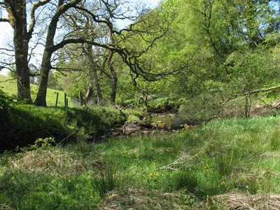
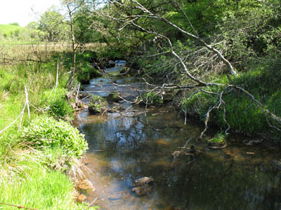
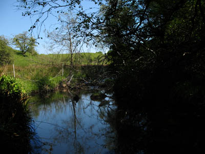
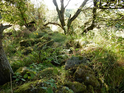
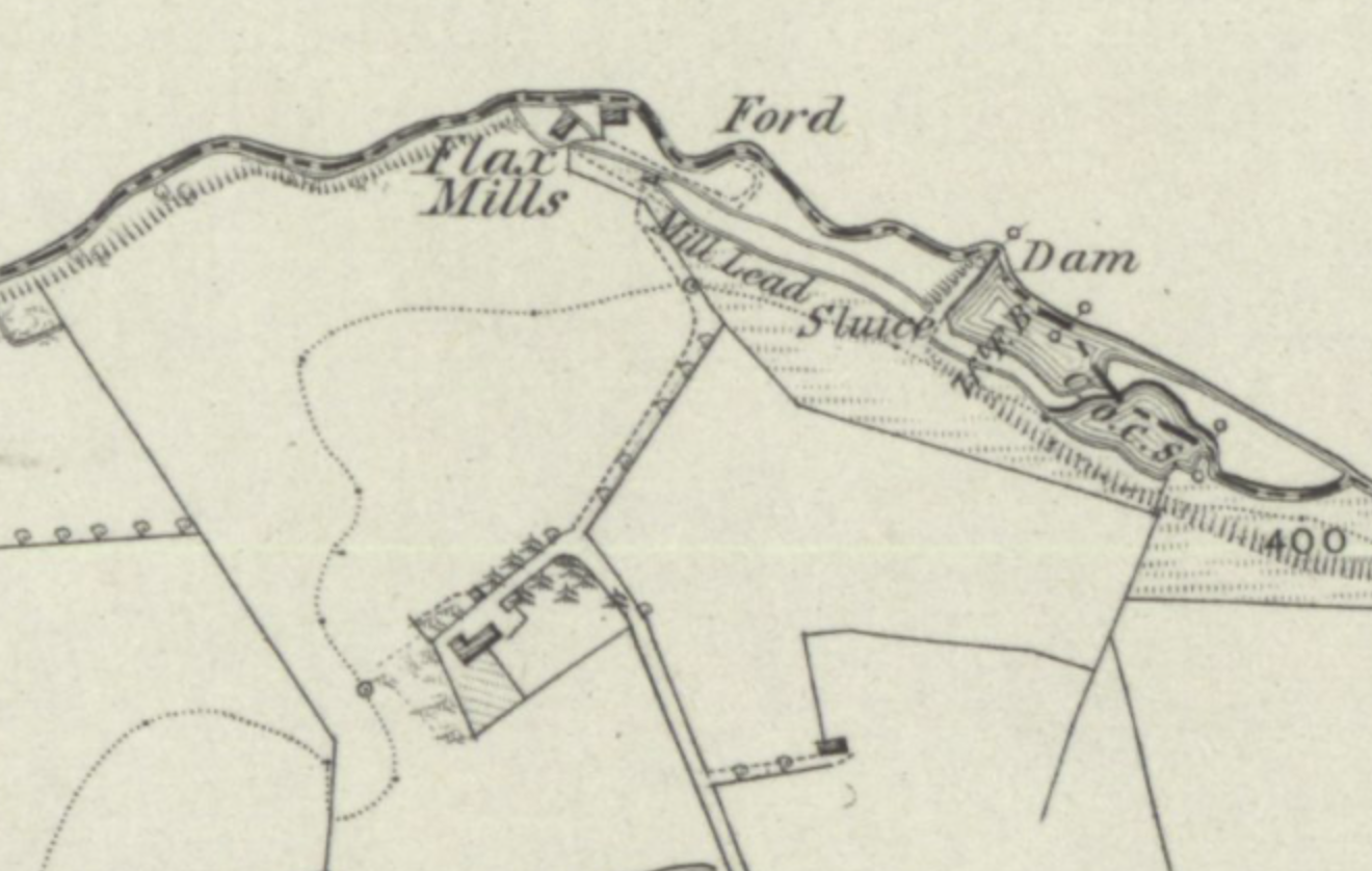
As children on the farm at Tannoch we often spent time at “the burn”. I remember a picnic alongside a shallow pool where we splashed around in the water. On another occasion we built a raft with empty barrels and planking that floated in a larger pool but couldn’t go far. During the 1950s and 1960s this little river was teaming with life. There were trout, minnows, stone loach and numerous other creatures in the water and along the banks. We explored its banks and at one point found the remains of an old building and were always puzzled by what it must have been. We now know it was part of a flax mill, one of several in the area when Tannoch was the centre of a thriving flax industry. There was a retting pool and a section in the river where there are still signs of a sluice. Further up the burn there are still signs of small mines where clay was extracted.
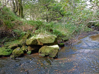
In 2015, my brother and I took a trip along the Rumblybugs. Sadly, the burn is now devoid of life as a result of obvious pollution. The land alongside the burn is now bog and bulrushes when once it was fairly firm soil.